Our Services
Planning & Urban Design
Urban Planning, Design & Engagement
Trusted and Strategic Approach to Planning
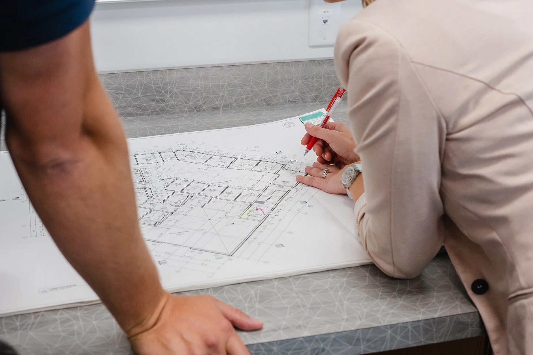
TRUE provides a wide range of planning and urban design services throughout the B.C. interior. Our clients benefit from our inter-disciplinary approach, where we combine professional planning expertise with in-house engineering expertise, and strong technical support from our Land Survey/Mapping/GIS group.

Areas of Expertise
-
Official Community Plan Amendments
Rezoning Applications
Development Permit Applications
Development Variance Permit Requests
Subdivision Approval
Agricultural Land Commission Applications
Tourism Development
-
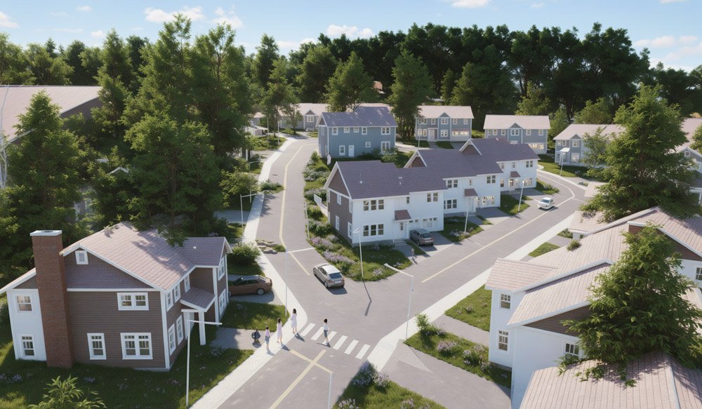
Conceptual Design and Development
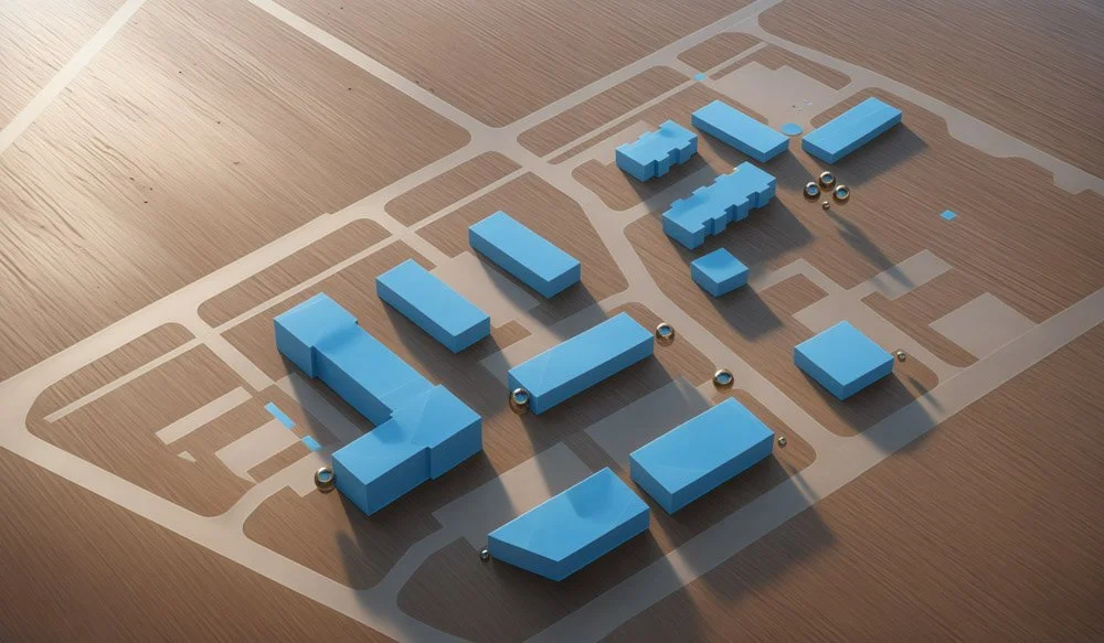
Site Plans
Streetscape Plans
Draft Plans of Subdivision
Building Scheme Guidelines
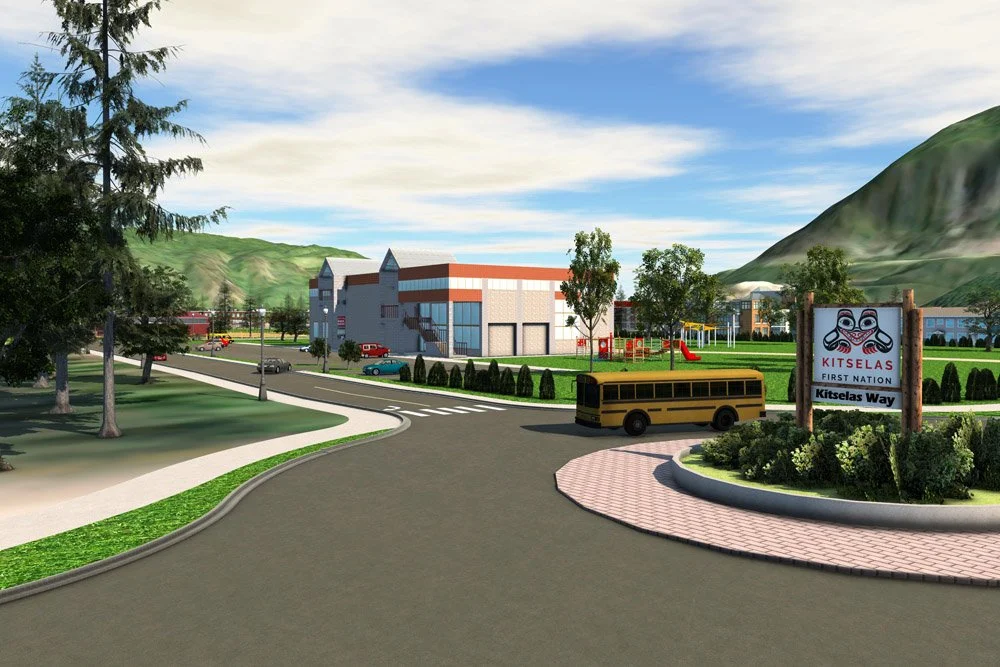
3D Visualization / Animation / Cross Sections
Infill Designs
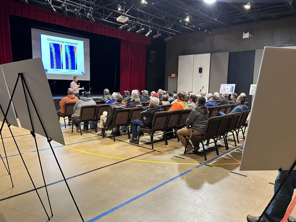
Open House Exhibits
Marketing Materials
Public Notice Signs
-
Zoning Bylaws
Official Community Plans
Policy Development
Development Application Review
Development Cost Charge Bylaws
Subdivision and Development Servicing Bylaws
GIS Mapping
Stakeholder/Public Engagement
Grant Applications
-
Comprehensive Community Plans
Land Use Plans
Coordination with Municipalities and Provincial Ministries
Capital Works Submissions
Project Management
Capital Planning for Municipal Infrastructure Development and Upgrading
Asset Condition Reporting System (ACRS)
Creation of Consultation and Communication Plans
-
Feasibility Analysis/Due Diligence
Demographic Analysis/Forecasting
Highest and Best Use Analysis
Housing and Residential Land Use Studies
Long Range Planning
GIS-based Land Use Analysis
Best Practices Review
Strategic Planning
-
Workshop Facilitation
Online Surveys
Community and Stakeholder Focus Groups
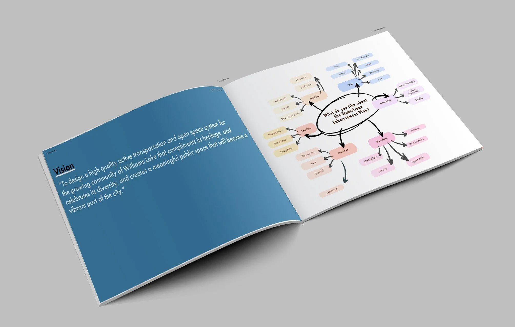
Visioning and Strategic Direction Setting
Community Liaising
Virtual Engagement
-
Planning and Approvals
Subdivision Layout and Preliminary Design
Funding and Financing Solutions
Joint Venture and Strategic Partnership Development
Capital and Operating Budgets
New Construction, Renovation and Major Capital Improvements


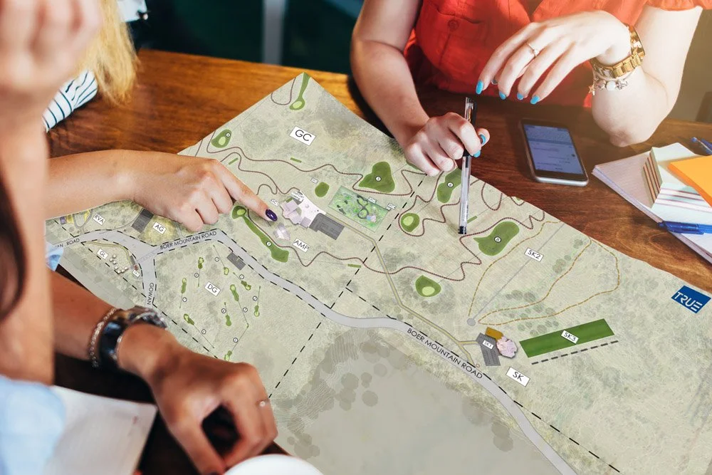
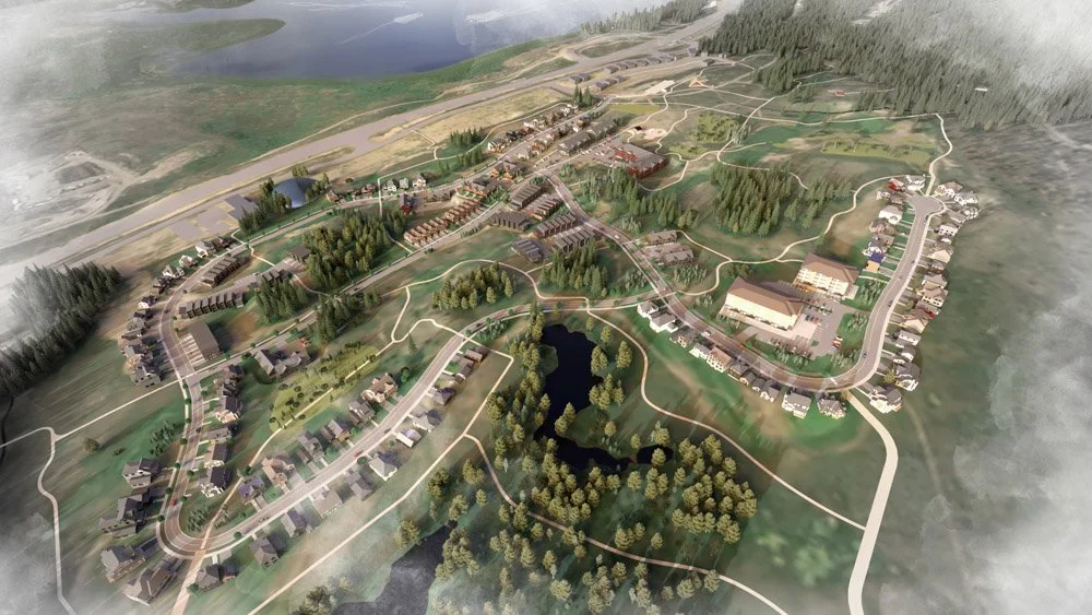
Featured Project
Williams Lake First Nation Northside Development Master Plan
Client: Williams Lake First Nation
Year of Completion: 2024
Service Category: Master Planning