Our Services
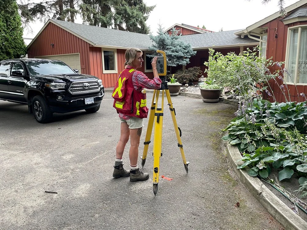
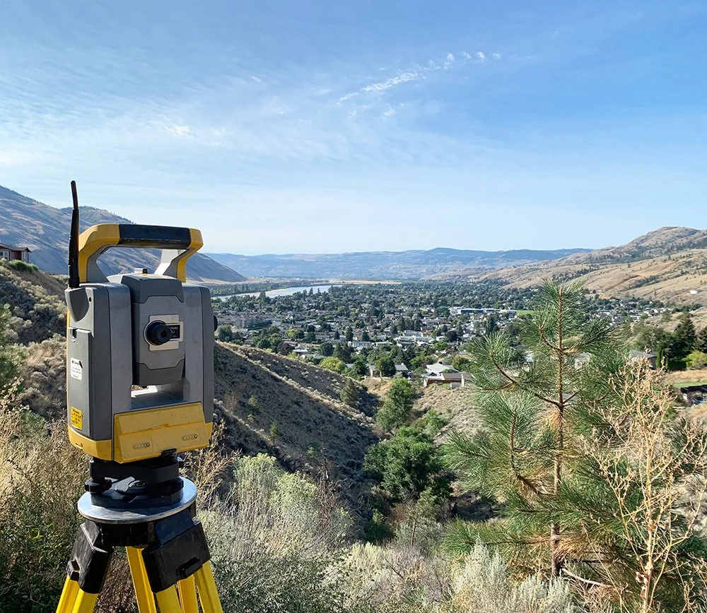
Land Surveying
Residential, Commercial & Industrial Surveying
Efficient Reliable Service
Winner of two Keystone Awards for Best Service/Professional.
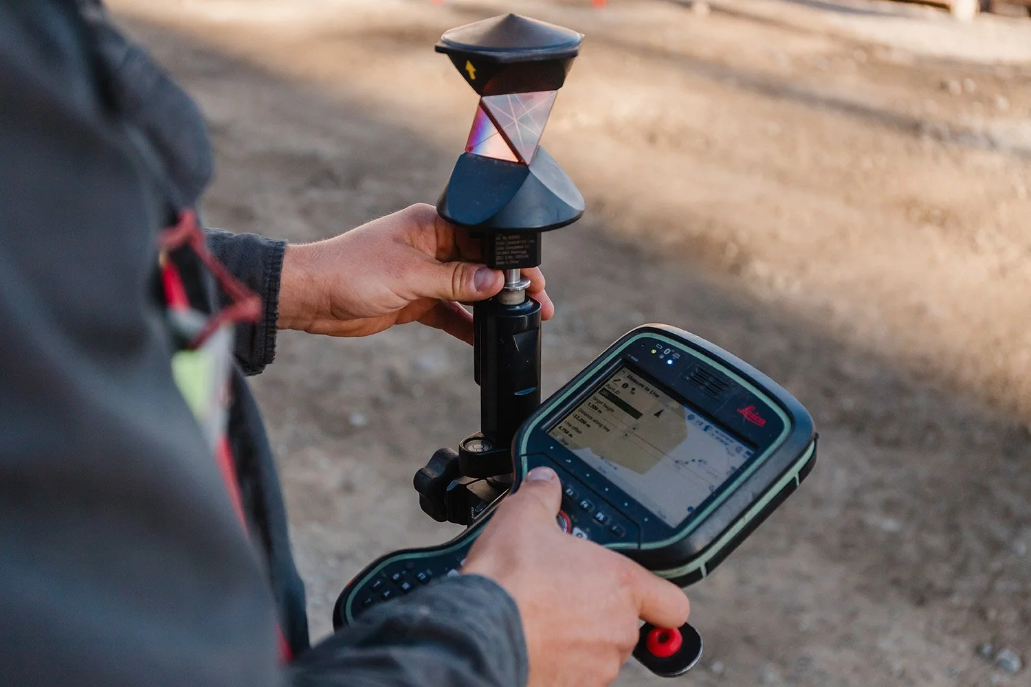
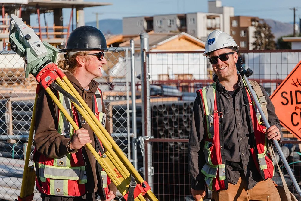
TRUE provides a broad range of land surveying services in Kamloops, Williams Lake and throughout the province. Our land surveying team is committed to meeting the needs of every client by offering practical and reliable solutions. We deliver exceptional service with efficiency and accuracy.
Areas of Expertise

-
Accretion occurs when there has been a gradual and imperceptible natural deposition of land to an upland parcel. A land owner can apply to acquire land that has either been lawfully accreted, or has been misrepresented on the original survey of their parcel. These applications are complex and require various surveys by a Land Surveyor and an approval from the Survey General. The result is a newly defined parcel showing the present location of the natural boundary.
-
Typically a parcel of land extends below and above the ground. An Air Space Plan provides a means to subdivide a parcel vertically and create volumetric parcels that exist at a particular elevation in space. The Air Space Parcels can be occupied in whole or in part by a building or other structure. This can be advantageous to a developer who wishes to create a mixed-use development where commercial and residential owners are not part of the same Strata Plan or council and can provide more flexibility for long-term investment opportunities and use.
-
Cadastral surveys performed by a Canada Lands Surveyor on lands owned by the federal government. Federal land includes National parks, the Yukon, Northwest Territories, Nunavut and land situated within Indian Reserves.
-
Certificates of Location are non-statutory plans prepared and signed by a Land Surveyor. These plans show the physical location of all structures, rights of ways and other charges relative to the parcel boundaries. They are particularly useful when purchasing a new home because they provide insight as to whether any structures conform or conflict with parcel boundaries or setbacks. Additionally, they are usefully for designing additions to existing homes to ensure that designers and architects know exactly where the existing building footprint is relative to the property boundaries and potentially charges on title.
-
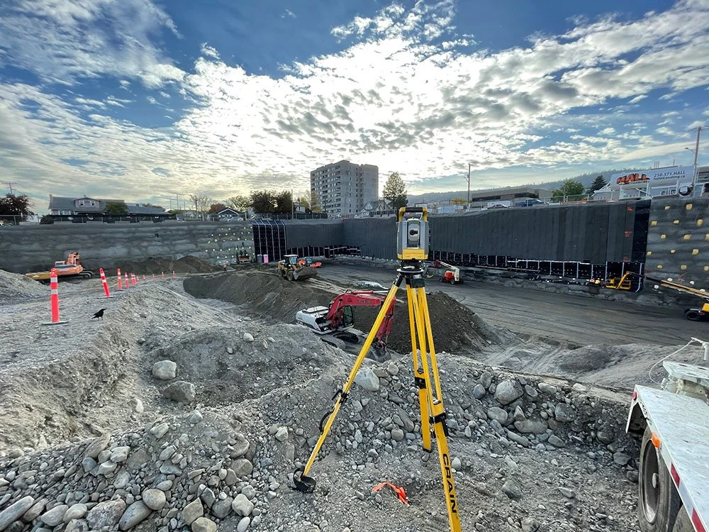
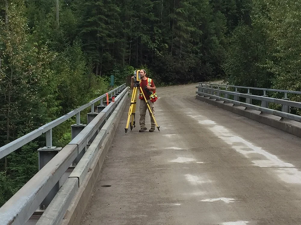
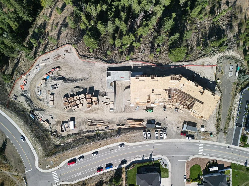
The process of interpreting design plans and staking reference points and markers that will guide the construction of new structures such as utilities, roads and buildings. This is a critical step for construction sites since it ensures accuracy and reliability in the placement of structures. TRUE can be involved in all aspects of layout including road and grade staking, utility staking (both above and below the ground) and building or grid-line staking.
-
A Crown Land Survey is conducted when an offer to purchase or use provincially owned land has been granted by the Provincial Government. The Land Surveyor obtains direction and instructions from the Provincial Government and the Surveyor General (whom is a member of the Land Title and Survey Authority) to survey the parcel area and prepare a survey plan for registration into the Crown Land Registry or Land Titles.
-
These are various types of charges against a parcel that are represented by a plan and registered in the Land Title Office. An Easement is created when one parcel enjoys a right over another parcel (i.e. access). Rights of Ways are similar except they are in favor of an entity and not an adjacent parcel (i.e. Utility company or municipality). Covenants are created to outline restrictions on a parcel (i.e. no-build areas, wildfire). They are typically in favor of a governing body such as a regional district or municipality. Leases define a certain area that may be used for a specific purpose for a specific time. Leases can be held privately or by government.
-
This is a step-by-step process which is provided to builders and land owners when constructing a new home. The first step in the process is providing a Plot Plan that shows the proposed house on the lot. This can be used to obtain a building permit with the local city or municipality. We then stake the house location for excavation, installation of a local benchmark and footing/foundation construction. Once the foundation has been poured we check it and prepare a Certificate of Location showing the final position of the house.
-
These surveys relate to Industry and could involve large-scale projects related to mining, oil and gas, transportation, or various types of mills and plants. TRUE can interpret many levels of design drawings so that various stages of the project can be surveyed on the ground and then constructed. This service can be broken down into Quality Control and Quality Assurance phases. Additionally, as-built data is processed during construction for turnover, and accurate results are delivered to the client. Site Grading Surveys, Volume Surveys and Monitoring Surveys can also be part of a large industrial project.

-
A legal survey and plan performed by a Land Surveyor which grants you rights to extract minerals from an area defined by coordinates. These titles involve an extensive application process which a Land Surveyor can assist you through.
-
A service provided that involves the re-establishment and placement, (or verification), of property corners with additional markers set along property lines. If corner posts are missing, they are re-established based on surrounding legal evidence and new survey monuments are set. A Posting Plan is filed in the Land Title Office to maintain a record of the survey. These types of surveys are useful to landowners when constructing fences, walls or buildings, and can also be used to resolve disputes between neighbors.
-
Strata surveys are like subdivision surveys but are carried out under the Strata Property Act. There are two types of Strata Surveys. The first is a Bare Land Strata, which is the most like a conventional Subdivision, except Common Property must be designated as separate area on the Strata Plan. Additionally, zoning by-laws may not apply in Bare Land Stratas (i.e. minimum road widths, lot widths and building setbacks). The second type of Strata survey is a Building Strata. In this type of Strata, the Strata Lots are defined by walls in a building, which could be either apartment-style or townhouse-style. The main difference is that Bare Land Strata surveys are defined by monumentation which results in areas of land being owned, in addition to the building. Building Strata surveys are defined by walls, floors and ceilings. Ownership extends to these features and the remaining area of the parent parcel is typically designated as Common Property or Limited Common Property.
-
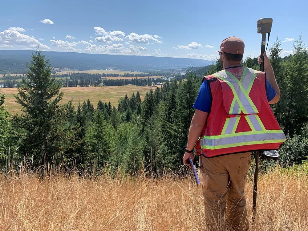
A process in which one or more parcels of land are reconfigured, or broken down into smaller parts. We can do this for both private and commercial clients. TRUE can help with all stages of this process: performing topographic surveys for design, preparing proposal sketches, liaising with approving authorities, and preparing the final subdivision plan.
-
A topographical survey plan illustrates both natural and manmade features of a parcel depicted through the usage of elevations and contour lines. These types of surveys are provided to engineers, architects and building contractors for design and construction purposes. As-built surveys show the property “as it is built” at a particular point in time. They can also be used for design purposes but are typically used to represent a completed stage in a development, or to confirm construction has been completed per design.

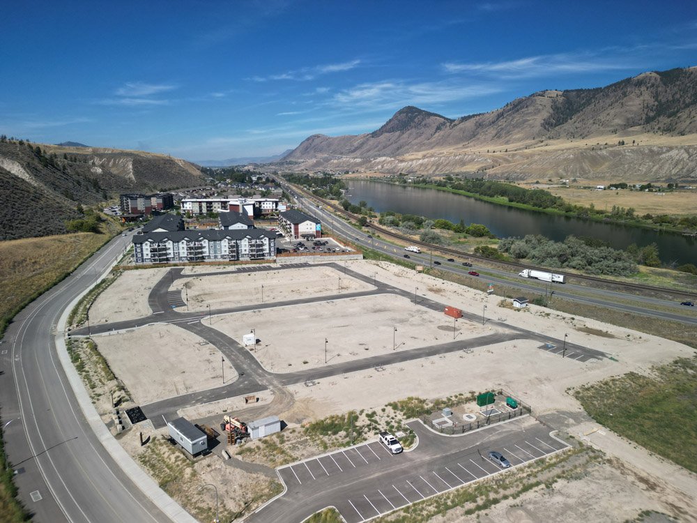
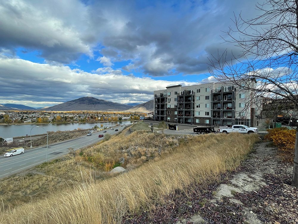
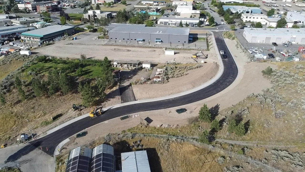
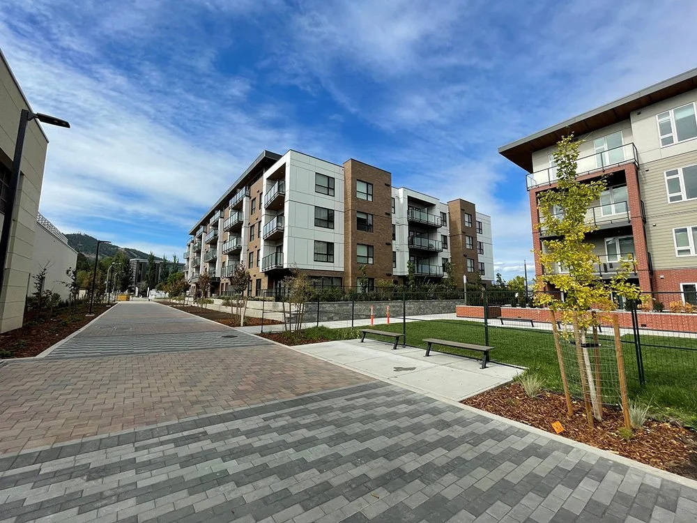
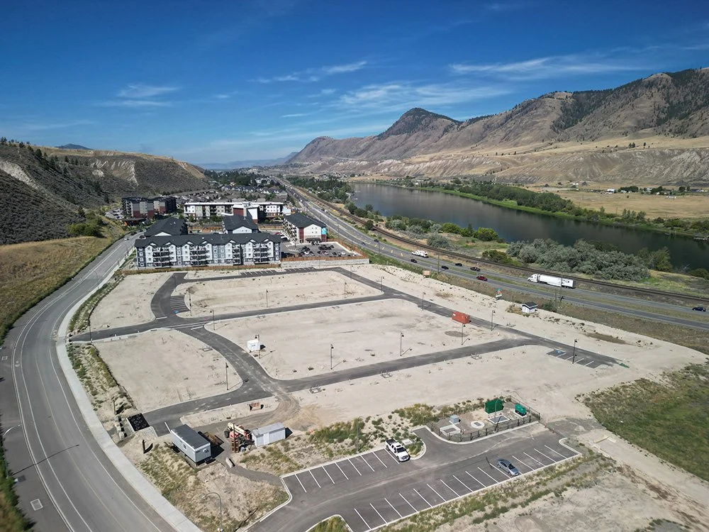
Featured Project
Orchards Walk, Kamloops
Client: Orchards Walk
Year of Completion: 2020
Service Category: Land Development